Precise positioning basic system C-RTK cloud network Solution
Views: 20 Author: Shandong Joyance Intelligence Technology Co., Ltd Publish Time: 2023-03-16 Origin: www.spreaderdrone.com
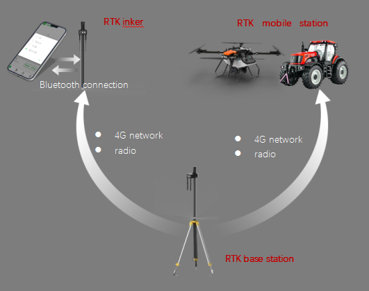
C-RTK is a basic precise positioning service basic system based on satellite systems (compatible with Beidou, GPS, GLONASS, Galileo), using ground-based differential enhancement stations and self-developed positioning algorithms, through Internet technology for big data operations, and RTK base stations to form a C-RTK base. -RTK cloud network, providing accurate positioning services for users in the coverage area of C-RTK network.

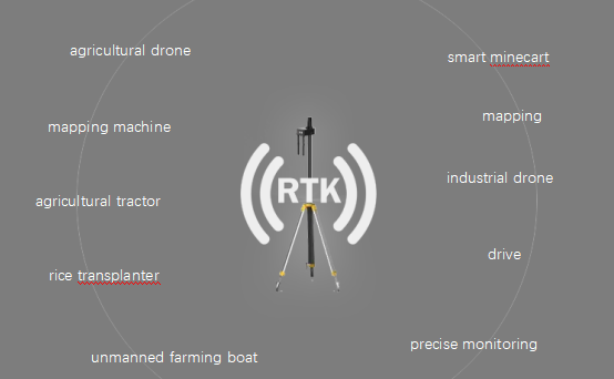
Application industry
Based on accurate RTK positioning, "robots" such as drones and agricultural machinery with autonomous operation capabilities can greatly improve the production efficiency and operation quality of various industries.
l Intelligent driving Drone
l Emergency mapping
l Driving test driving training l
l Agricultural engineering
l Railway locomotives
l Power application
l industry benchmarks.
Hardware equipment:
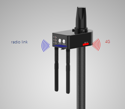
NB6-RTK basestation

The effective radius of the network base station is up to 25 kilometers
One base station can connect N mobile terminals
Other applicable products

Application scenarios
The C-RTK cloud network system is suitable for construction in a region or country.
CONTACT US
Phone/Wapp : +86 152 6961 6614
E-mail : sales@spreaderdrone.com


